
Seas of the World Flashcards | Geography Printable Cards | Oceans & Seas Facts
(No reviews yet)
Write a Review
- Grade Level:
- All Age's
- File Type:
- Seller:
- Bella & Leo




Description
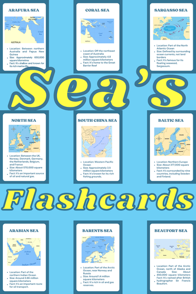
Help learners explore the world’s major seas with these printable seas flashcards, designed to make geography engaging and easy to understand.
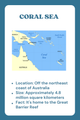
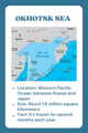
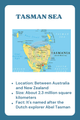
Each flashcard includes key facts such as location, size, and unique characteristics, helping learners build a clear understanding of important seas around the world. This resource supports both learning and review through simple, structured information.
Perfect for classrooms, homeschooling, and independent study, these flashcards provide a no-prep, interactive way to explore global geography.
? What’s Included:
- Printable seas flashcards
- 20 major seas from around the world
- Key facts (location, size, characteristics)
- Clear, easy-to-read format
- Print-and-go resource
? Topics Covered:
- Major global seas (Mediterranean Sea, Caribbean Sea, Red Sea)
- Seas across different regions and continents
- Unique sea features (salinity, marine life, resources)
- Important geographical locations and boundaries
? Perfect For:
- Geography lessons
- Social studies activities
- Classroom centers
- Quiz and review sessions
- Homeschool learning
- ESL / EFL learners
? Skills Covered:
- Geography Knowledge
Learners identify major seas and understand their locations around the world. - Map Awareness
Builds understanding of how seas are positioned between continents and countries. - Reading Comprehension
Learners interpret short factual descriptions and key information. - General Knowledge
Expands awareness of global water bodies and their importance.
?? Teacher-Friendly Features:
- No prep required – just print and use
- Suitable for individual or group activities
- Can be used as flashcards, quizzes, or matching games
? Grade Level:
- Grades 2–5
- Suitable for older learners needing geography review
?️ File Details:
- Format: PDF
- Print-friendly
- Easy to cut and laminate for durability
Related Products
Related Products
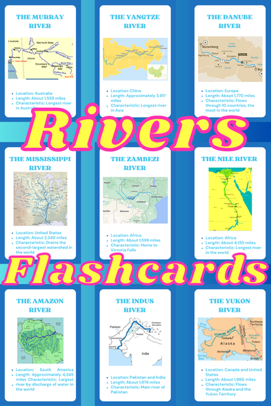

Rivers of the World Flashcards |Geography Printable Cards |Famous Rivers & Facts
$3.00
Explore the world’s most famous rivers with these printable river's flashcards, designed to make geography engaging and easy to understand.
Each flashcard includes key facts such as location,...


Math Facts Challenge and Printable Fact Flashcards
$4.00
Daily fact practice is key!
I recommend having your students practice fact flashcards for 5 minutes a day and then challenge them to a ____# minute challenge!

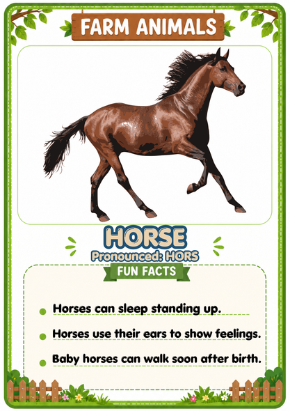
Farm Animals Flashcards 20 Printable Animal Cards with Fun Facts
$3.00
Introduce children to the wonderful world of farm animals with these engaging Farm Animal Flashcards! This printable resource features 20 popular farm animals, each with an easy pronunciation guide...
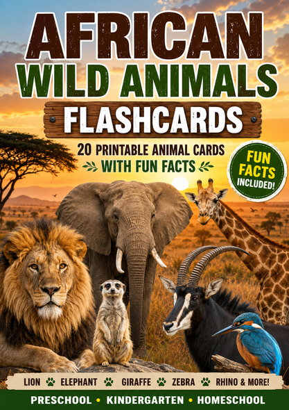
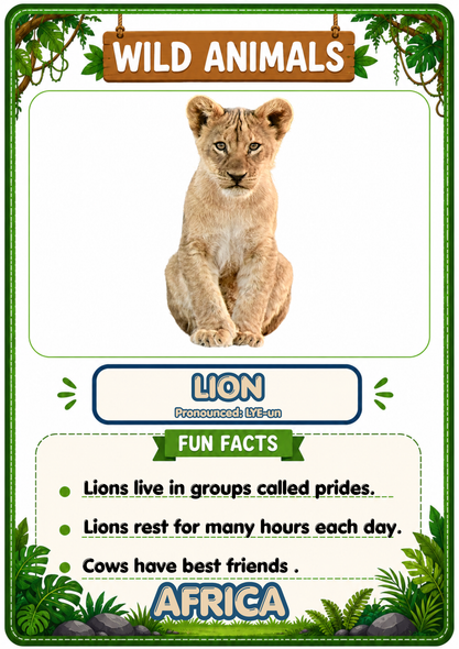
Wild Animals Flashcards | 20 African Printable Animal Cards with Fun Facts
$3.00
Take your students on an exciting African safari with these engaging Wild Animals of Africa Flashcards! This printable resource introduces children to 20 amazing African animals through realistic...


Wild Animals Flashcards | 20 Asian Printable Animal Cards with Fun Facts
$3.00
Explore the amazing wildlife of Asia with these engaging Wild Animals Flashcards! This printable resource introduces children to 20 fascinating Asian animals through realistic images, easy...