
Ancient History Map Bundle

- Pages:
- 80





Description
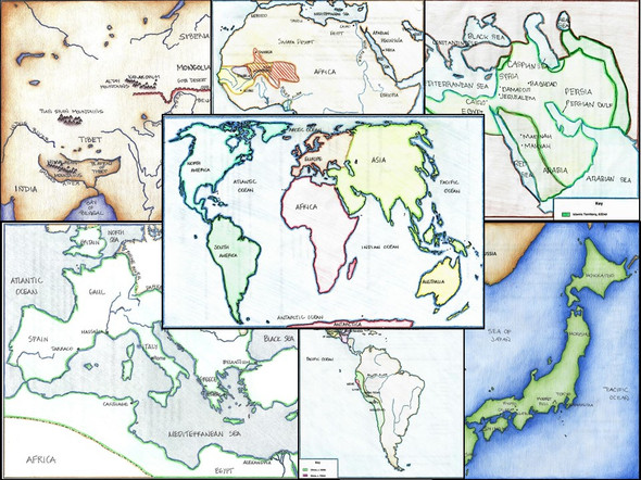
Students will review the political and physical geography of various Ancient History groups/empires (Mesopotamia, Sumer, Greece, Minoans, Mycenaeans, the Persian Wars, the Peloponnesian War, India, Rome, Egypt, China, Africa, Israel, and the Americas) by completing 3 or 4 maps per topic.
One map is for political geography, another for physical geography, and the third and fourth maps have students mark the extent of each empire's boundaries at various times, locations and events relevant to the topic, and more! Each map also includes 2 additional tasks and 5 review questions.
The answers are included where appropriate and these would be great for a sub! See the preview for a closer look!
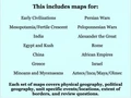
To recap this includes maps for:
--Early Civilizations overall
--Mesopotamia/Fertile Crescent
--Egypt
--Kush
--India
--Greece
--Minoans and Mycenaeans
--Persian Wars
--Peloponnesian Wars
--Alexander the Great
--Rome
--African Empires
--China
--Israel
--Early Americas
Click here for more resources from Stephanie's History Store
Related Products
Related Products


Ancient History Tests Bundle

Bundle: Maps in World History


Texas History Map Bundle


World History Map Bundle

