Description
Do you find it is challenging to determine what countries to cover when teaching Africa? This lesson explores 10 countries from Northern Africa to Southern Africa to Eastern Africa. Your students will love exploring Africa through stations! It is a great introduction to Europe and covers the following countries:
- Ethiopia
- Sudan
- Algeria
- Egypt
- Chad
- Nigeria
- South Africa
- Morocco
- Angoloa
- Madagascar
(Note: Although this is designed for two weeks (45 minute classes), it can be modified as the teachers discretion if there is a time limit. Simply require student to complete 5 countries rather than 10. Typically each group will study one country a day, unless you have longer class times such as in block classes.)
OBJECTIVES:
(1) The learner will identify and give examples of governments with rule by one, few, or many in Africa.
(2) The learner will identify the location of renewable and non-renewable natural resources such as fresh water, fossil fuels, fertile soils, and timber.
(3) The learner will identify the physical characteristics of a place such as landforms, bodies of water, natural resources, and weather.
(4) The learner will demonstrate an understanding of the patterns, characteristics
(5) The learner will compare similarities and differences among people such as music, clothing, and food.
(6) The learner will describe a variety of regions such as landforms, climate, and vegetation regions.
(7) The learner will describe elements of culture, including language, religion, beliefs and customs, institutions, and technologies.
MATERIALS:
• Center printouts (10) placed into folders, 1 country sheet per student (30 students = 30 Ethiopia Sheets)
• 10 pocket folders (Place the student country sheets in the left pockets.)
• 3 Prong Folder Per Student (They will add their country pages to their notebook)
• Atlases, books, magazine, articles and internet access for each country station.
• Map of Europe, one per student
• Exit Cards
INCLUDES:
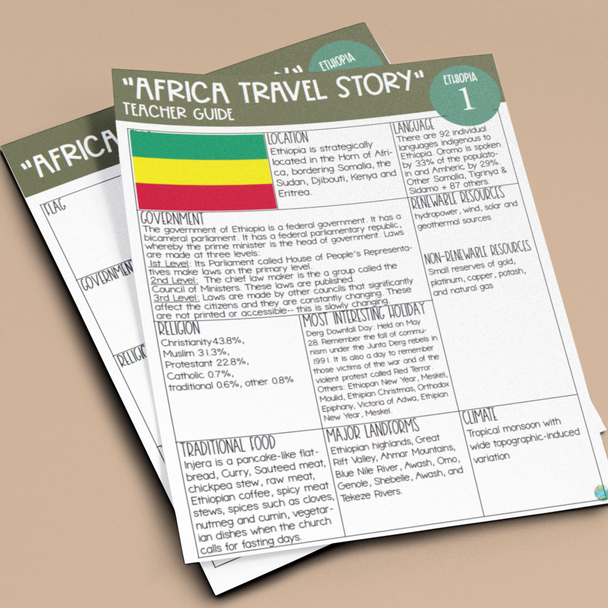
- Detailed teacher guided instructions
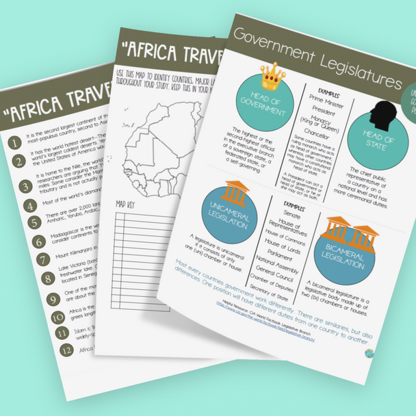
- Introduction activity looking talking about fun facts bout Africa (Fun Fact Sheet Included) + (Suggested video if time allows)
- Printable materials for each of the 10 stations: Map of Africa, Country Station Charts
- Teacher Answer Guide
- Assessment: T-Chart Comparison & Exit Cards
© Martha Boykin Products. All rights reserved. Purchase of this product grants the purchaser the right to reproduce pages for classroom use only. If you are not the original purchaser, please download the item from my store before making copies. Copying, editing, selling, redistributing, or posting any part of this product on the internet is strictly forbidden. Violations are subject to the penalties of the Digital Millennium Copyright Act.
................................................................................................................................


