Description
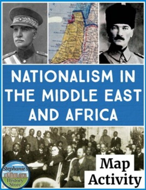
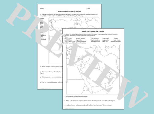
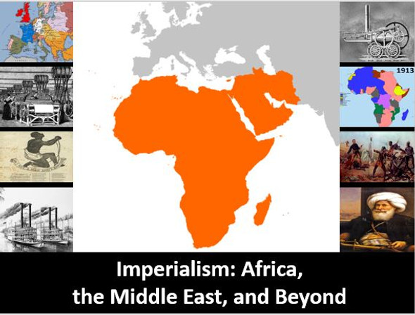
Students will review the political and physical geography related to the Middle East and Africa during their periods of nationalism from between World War 1 and World War 2 by completing 3 maps. There are 55 labels and tasks to complete on the maps (the Middle East, Africa, and Europe for reference as related to colonialism) as well as 5 review questions. This would be great for a sub!
Click here for more resources from Stephanie's History Store


