Description
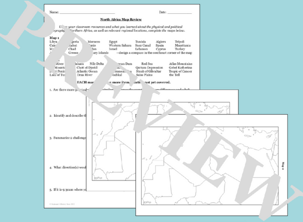
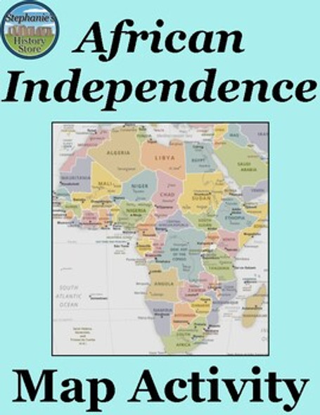
This product is a mapping activity on the Scramble for Africa. Students will label and color different aspects such as; bodies of water, label African countries and color in the areas colonized by major European Countries. This activity also includes 6 questions for the students to answer based on the map, prior knowledge, provided stimuli and critical thinking.
Included in the product is a blackline political map of Africa in 1914. I typically make the map a 11x17 making it easier for students to label.
This is a rigorous map project that makes the students learn about the Scramble for Africa. The product is a ZIP file that includes the Map Directions (Word Doc) and a PPT that has necessary visuals for the students to complete the map. A key is included for the questions and the map.
Thanks for looking!


