Description
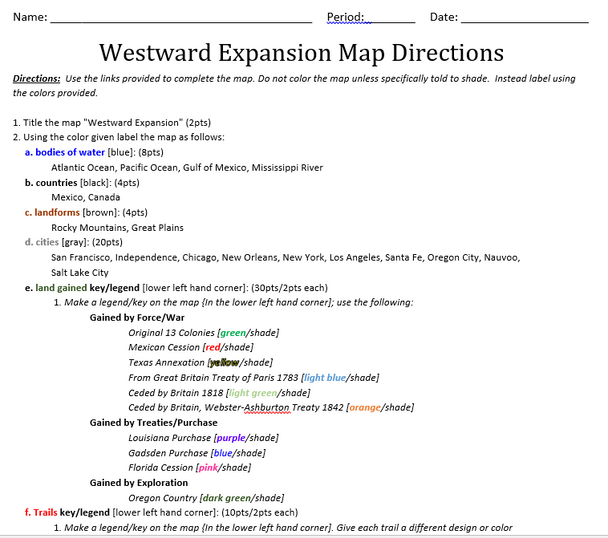
This mapping activity is on the United States Westward Expansion. Westward Expansion Mapping Activity includes explicit instructions on how to complete the map as well as questions based on the map along with knowledge based questions Westward Expansion.
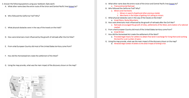
Students will label and color different aspects of American Westward Expansion such as; cities, bodies of water, important physical features, shade the areas gained by the United States, and draw in major trails and railroad lines. This mapping activity includes 7 questions that tests students' map and critical thinking skills. Please check out the preview for exactly what the students will have to complete.
This product also contains a blackline political map of the American Westward Expansion. I typically make the map a 11x17 making it easier for students to label.
This is a rigorous map project that help the students learn about Westward Expansion.
The product does include a key for both the questions and the map.
Note to Teachers: This product was designed to be used with the links provided in the product.
Thanks for Looking!


