Description
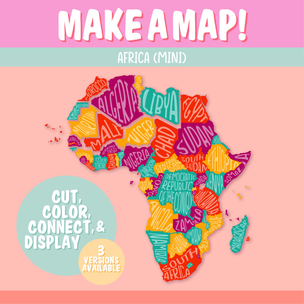
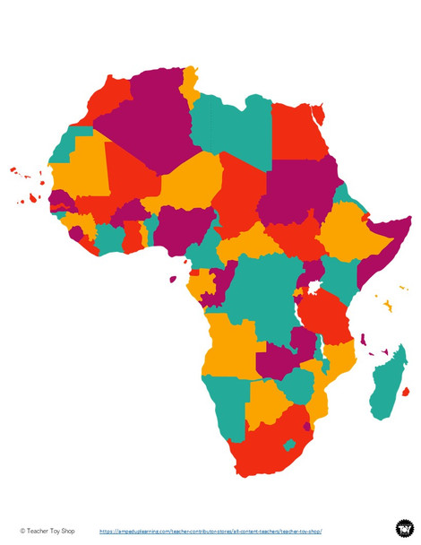
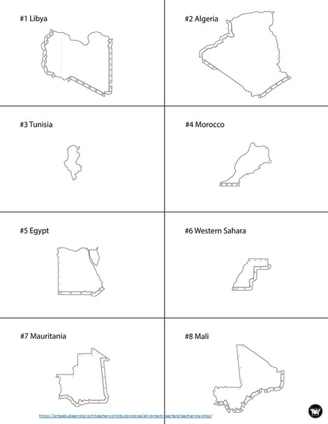
In this Africa geography activity, students piece together all the countries in Africa to form the entire continent. Each of the countries is a puzzle piece. This is a fantastic Africa project for kids for world geography lessons and history as well as lessons specifically about Africa. Clear directions are included with a unique numbered tab system to easily show students how to correctly place the countries. Students can create the map on a plain sheet of paper or on the map of Africa provided with the country borders drawn in as guidance.
Included are 4 printable options:
- colors and names preprinted on the countries
- colors but no names printed on the countries (students label)
- black and white with no names printed on the countries (students decorate countries)
- arranged so you can print onto your own color paper
The only additional materials needed are: scissors, glue, and a sheet of paper.
This is a terrific geography project for kids to learn the African continent. It's a simple introduction to Africa and would work well with any continent study, Black History lessons, studies of African biomes, habitats of Africa or African wildlife, political maps, hands-on geography, a Montessori approach, interactive notebooks, and/or teaching world geography or African geography.
When complete, the entire continent fits on an 8.5x11in sheet of paper.
Visit Teacher Toy Shop for more fun teaching resources--including a GIANT bulletin-board version of this Africa map and USA maps!


