Description
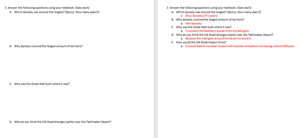
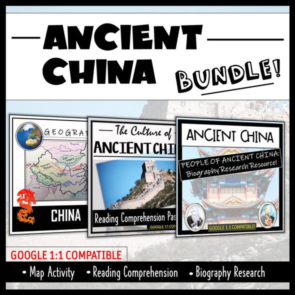
This product is a mapping activity on Ancient China. Students will label and color different aspects such as; bodies of water, draw the Silk Road and Great Wall, label major land forms and shade in the dynasties of Zhou, Qin and Han. Please check out the preview for exactly what the students will have to map. This activity also includes 5 questions for the students to answer based on the map, prior knowledge and critical thinking.
Included in the product is a blackline political map of China. I typically make the map a 11x17 making it easier for students to label.
This is a rigorous map project that makes the students learn about Ancient China's Dynasties; Zhou, Qin and Han. The product is a ZIP file that includes the Map Directions (Word Doc) and a PPT that has necessary visuals for the students to complete the map. A key is included for the questions and the map.
Thanks for looking!

