Map: The Spread of Islam
- Bulk Pricing:
- Buy in bulk and save
- Contributor:
- Brian Hook
- Grade Level:
- Middle and High School
- Product Type:
- Map Activity
- File Type:
- Zip (PPT and PDF)
- Pages:
- 4
- Answer Key:
- Included
Description
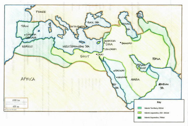
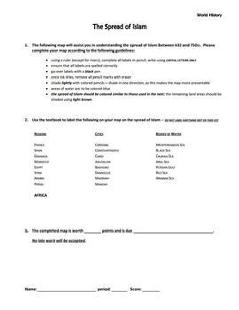
This map obliges students to label regions, cities, and bodies of water, and to color the various phases involved in the spread of Islam between the 7th and 8th centuries.
The directions for the map are very specific, and are intended to encourage students to produce quality work.
Although the file has been uploaded as a PDF, there is space provided to allow for individual due dates and points possible.
Finally, the download includes a PowerPoint that provides both a blank copy of the map and a completed student example.
You can also purchase this map as part of a general series I have posted on Amped Up Learning: Maps in World History.
Your feedback regarding this product is always appreciated. And feel free to browse my store for other products related to US History, World History, and Government.
You can find me on both Facebook and Pinterest.
Should you have any questions, please email me at aroundtheworldteacher@gmail.com.
Visit my store: Around the World in 180 Days

