Description
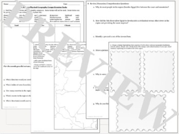
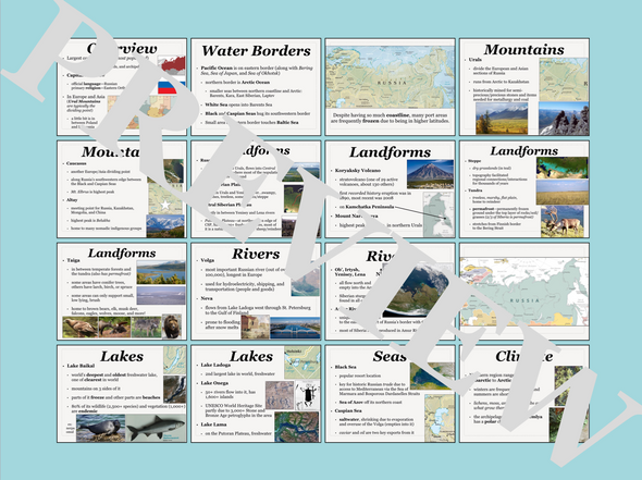
World Geography students will learn about, or review, the physical geography of North Africa (Morocco, Algeria, Libya, Tunisia, Egypt, and Western Sahara) with this 36 slide PowerPoint (it can also be printed and used as a gallery walk). Students will then complete a sorting chart, a regional map, design three stamps, and answer 12 questions to demonstrate an understanding of the material. The presentation is included as a power point and PDF for your convenience.
Topics covered include landforms, bodies of water, climate, natural resources, and more! Teacher information and an answer key is included where appropriate.
Click here for more Geography resources from Stephanie's History Store


