Description
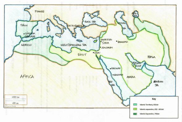
This product is a mapping activity on the Spread of Buddhism. Students will label and color different aspects such as; bodies of water, label regions and color in the areas Buddhism started and spread too. This activity also includes a graphic organizer and primer on the Buddhism religion including the origins, Four Noble Truths, Eightfold Path and Nirvana.
Included in the product is a blackline political map of the region needed to be mapped. I typically make the map a 11x17 making it easier for students to label.
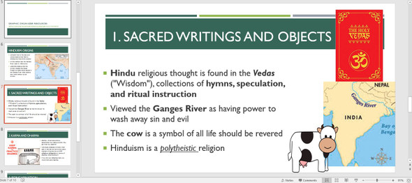
This is a rigorous map project that makes the students learn about the Spread of Hinduism. The product is a ZIP file that includes the Map Directions (Word Doc) and a PPT that has necessary visuals for the students to complete the map. A key is included for the questions and the map.
***Note to Teachers: This product created to support Texas Standards WH15A as well as 1B and 22B though it will probably fit your state or provincial standards as well.
· WH15A--Locate places and regions of historical significance directly related to major eras and turning points in world history.
· WH1B--Identify major causes and describe the major effects of the following events from 500 BC to AD 600: the development of the classical civilizations of India (Maurya and Gupta), China (Zhou, Qin, and Han), and the development of major world religions.
· WH22B--Describe the historical origins, central ideas, and spread of major religious and philosophical traditions, including Buddhism, Confucianism, Hinduism, Islam.
Thanks for looking!


