Description
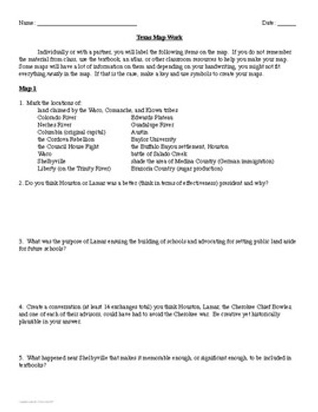
Students can use these 28 maps in each unit of Texas History or as an end of semester/end of year review. In addition to 750+ traditional map labels and tasks, there are 110 questions across the maps for students to answer (analytical, discussion, and opinion). The maps cover physical and political geography for each unit as well as relevant events. The first page of the cumulative map files is teacher information, then there is a page of individual map instructions followed by a blank map which can be printed and copied for each student when ready to be used or laminated and used with a white board marker. These would be great to have on hand for a sub!
***The individual unit maps have more labels and different review questions than the maps in the parts 1 and 2 files.***
To recap, this includes:
--physical geography and regions
--exploration and missions
--Mexico's fight for independence and colonization
--Revolution
--Republic and annexation
--Civil War and Reconstruction
--cattle, frontier, and oil
--World War 1
--World War 2
--Cold War
--Texas state symbols
Click here for more resources from Stephanie's History Store


