Description
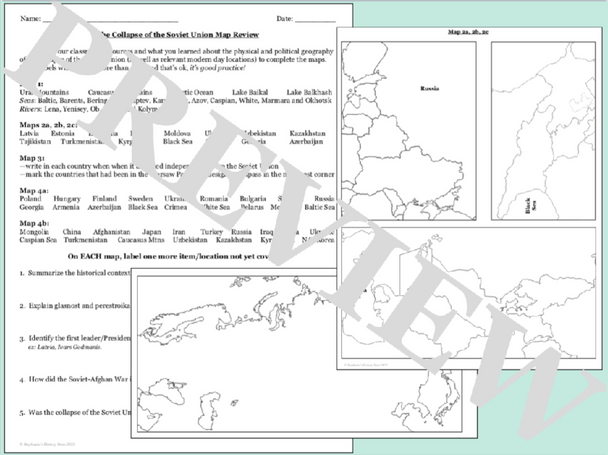
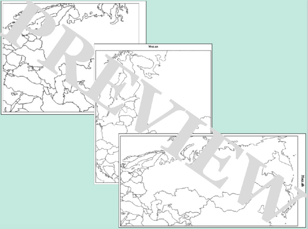
Students will complete 4 sets of maps to review the political and physical geography related to the Soviet Union's dissolution and the establishment of new independent nations. There are 72 labels across the maps and 4 tasks to complete. The first map is physical geography, the next has students identify the new republics close up in their own regions, the following maps have students place each relevant country in its wider geographical context, and the final map has students work with the Warsaw Pact countries and information related to independence. They will then answer 5 review questions. The answers are included where appropriate and this would be great for a sub!
Click here for more resources from Stephanie's History Store


