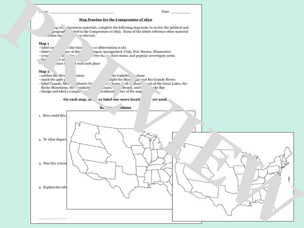
The Compromise of 1850 Map Activity
- SKU:
- UPC:
- MPN:
- Pages:
- 4
MSRP:
Now:
$3.50
Was:
— You save
Description
Students will review the political and physical geography related to the Compromise of 1850 by completing 2 maps. In addition to labeling the states and territories at the time, there are 21 other map tasks/labels and 4 review questions to answer. The answers are included where appropriate and this would be great for a sub!
Click here for more resources from Stephanie's History Store
Related Products
Related Products


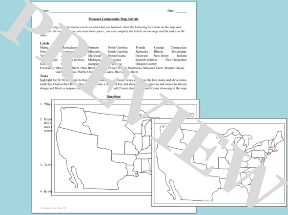
The Compromise of 1820 Map Activity
MSRP:
Now:
$3.50
Was:
Students will review what they learned about the political and physical geography related to the Missouri Compromise (Compromise of 1820) with this map activity. They will complete 47 map...

The Compromise of 1850
MSRP:
Now:
$3.00
Was:
In this 45-60 minute lesson plan/webquest, students will answer the following questions:
• What key factors set the stage for the Compromise of 1850?
• Why was this compromise needed?
• What...


The Compromise of 1850 Primary Source Analysis and Map Packet
MSRP:
Now:
$3.75
Was:
Students will read excerpts from Henry Clay's Compromise of 1850 and answer 15 questions. They will then connect 4 images to the text or its effects. Lastly, they will complete a map activity with 6...

The Compromise of 1850 Webquest
MSRP:
Now:
$3.00
Was:
This lesson will not only provide you with a web quest but also discussion and extension lesson activities.
The bulk of this lesson requires students to read information from a primary source found...


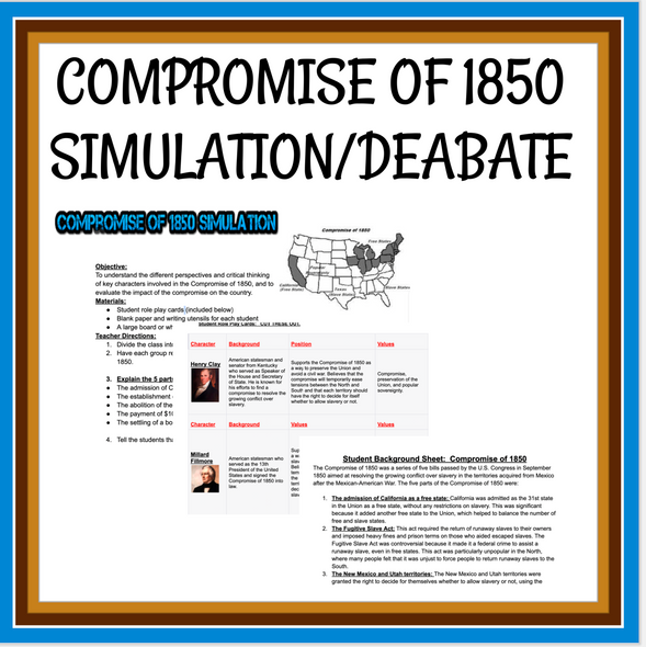
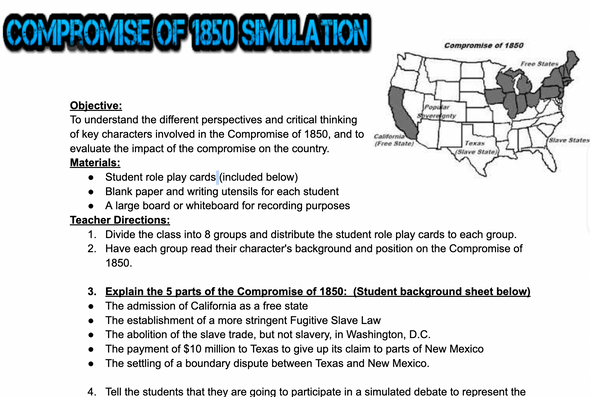
Compromise of 1850 Simulation/Debate
MSRP:
Now:
$4.25
Was:
Are you looking for a fresh and exciting way to teach your students about the Compromise of 1850? Say hello to the Compromise of 1850 Simulation/Debate!
This innovative and engaging...


The Compromise of 1850 Point of View Analysis
MSRP:
Now:
$5.00
Was:
Students will read and analyze 3 points of view of the Compromise of 1850 (John Calhoun, Daniel Webster, and the Free Soil Party) by answering 35 questions and completing an extension task. The...
The Reformation Mapping Activity
MSRP:
Now:
$2.00
Was:
This product is a mapping activity on the The Reformation. Students will label and color different aspects such as; bodies of water, label major cities and shade in the areas where different...


Mesopotamia Map Activity
MSRP:
Now:
$3.50
Was:
Students will complete 4 maps to review the physical geography and political geography related to the Fertile Crescent and Mesopotamia. Some labels have students mark other locations relevant to...