Description
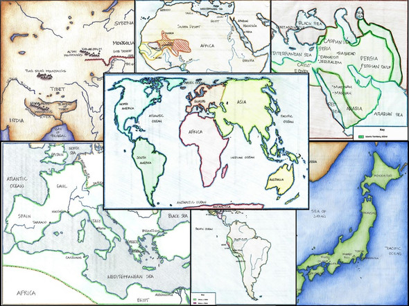
Students will review the political and physical geography of World History with maps covering Early Civilizations, Europe in the Middle Ages, the Byzantine Empire, the spread of Islam, the Mongolian Empire, the Ottomans and Safavids, the Renaissance, the Protestant Reformation, the Era of Exploration, Triangular Trade, the Revolutionary War, the French Revolution, the Congress of Vienna, the Unification of Germany and Italy, the Age of Absolutism, Imperialism in Africa, World War 1 (WWI), Nationalism in Africa and the Middle East, World War 2 in Europe and the Pacific (WW2, WWII), the Partition of India, the Chinese Civil War, the Korean War, decolonization in Africa, the collapse of the Soviet Union, and the Cold War.
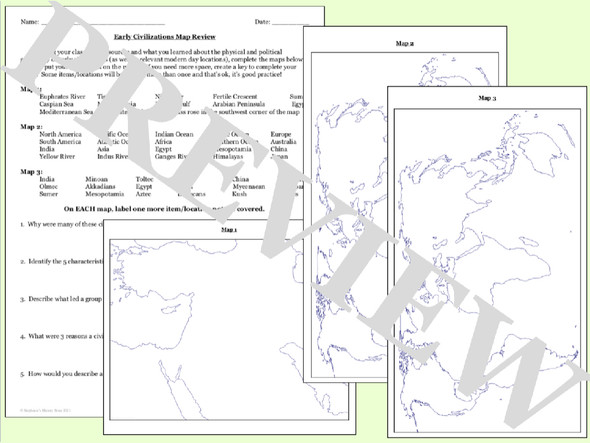
Students will label 30-85 locations (depending on the topic) and answer 4-8 review questions. The answers are included where appropriate and these would be great for a sub! I anticipate adding more maps to this bundle throughout the year!
To recap, this includes maps for:
--early river civilizations
--the Mongolian Empire
--Byzantine Empire
--Ottomans and Safavids
--China
--Japan
--Medieval Europe
--Renaissance
--Reformation
--English Civil War
--Exploration
--Triangular Trade
--American Revolution
--French Revolution
--Congress of Vienna
--Absolutism
--Unifications of Italy and Germany (2 separate maps)
--Latin American Independence
--Nationalism and Revolutions 1830-1848 (2 maps)
--Imperialism (2 maps)
--WW1
--Nationalism in Africa and the Middle East
--WW2 (2 maps--European and Pacific)
--Partition of India
--Chinese Civil War
--Korean War
--Cold War
--decolonization of Africa
--collapse of the Soviet Union
Click here for more resources from Stephanie's History Store


