Description
Overview
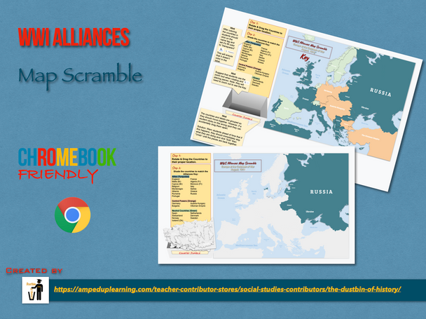
This Google Slides based Interactive Map jumble is designed to quickly familiarize students with the political Geography and Alliances of Europe during the lead in to World War I.
They are tasked with rotating and dragging the countries to their appropriate locations and then shading them to show which Alliance each country belonged to. This digital puzzle approach to learning with maps is a big hit with students and a great way to build map skills digitally!
Made for Google
This product works particularly well with Google Classroom and it's "Make a copy for each student" feature. This will allow it to function as an interactive digital worksheet.
What's Included
-
Interactive Map Worksheet with Country Borders (Google Slides Based)
- Interactive Map Worksheet without Country Borders (Google Slides Based)
-
Teacher Key & Tips (Google Slides Based)
Would you like to see more of our products?
>>>>>Click here to view the Dustbin of History Store!


