Interactive Map: Pearl Harbor and Japanese Aggression (1941-1942)
- Bulk Pricing:
- Buy in bulk and save
- Contributor:
- Tech that Teaches
- Grade Level:
- 6th to 11th
- Product Type:
- Interactive Map
- File Type:
- Pages:
- 19
- Answer Key:
- Yes
Description
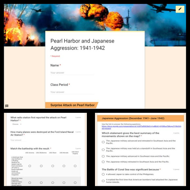
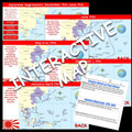
This product is a Google form and doc linked to two interactive maps on the attack on Pearl Harbor and the Japanese aggression in the Pacific from 1941 to 1942. On December 7, 1941, about half of the United States Navy's Pacific Fleet sat peacefully clustered in Pearl Harbor, Hawaii. American planes sat quietly in nearby airfields. Then, in the early morning while many were still sleeping, hundreds of Japanese planes flew over the island of Oahu, attacking the moored ships and airfields. The scene was one of utter destruction.
Students can answer the 15 questions on the form while exploring and analyzing the interactive maps. Next, students can identify cause and effect, draw inferences, compare and contrast, and analyze the maps on the 4 short answer questions on the doc. This activity has worked very well in pairs using two devices. Students can explore and discuss as they explore the map. This is an enrichment activity.
Students will analyze the following:
- Broadcast from the radio station KGU in Honolulu: (2 min:5 sec audio)
- USS Arizona
- USS Oklahoma
- USS Shaw
- Ford Island Naval Air Station
- USS Nevada
- USS West Virginia
- Japanese made gains in the Pacific from December 1941 through June 1942
This product is editable.
Questions and option orders are shuffled.
Visit my store for more great activities
