Description
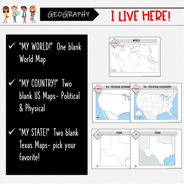
This “My World, My Country, My State” Map Activity is a MUST for students who are learning about their place in the world- literally! This labeling and coloring activity focuses on learning 1.) the Continents and Oceans, 2.) the United States, and 3.) the state of Texas where students will identify cities, physical geography, and landmarks of their region. This is a creative and engaging way of supplementing lessons on geography, civics, or social studies. Each map concludes with “Fast Facts”, analysis questions, or “I Can” mapping self-assessments. A completed, colored example of each map is also provided.
Included:
- One WORLD blank map
- Two UNITED STATES blank maps: (use one, or both!)
*Physical Map
*Political Map
- Two TEXAS blank maps: (pick the one that works best in your classroom!)
*Shaded surrounding areas
*Completely blank
- Map Directions with suggested colors to use for each map
- “Fast Facts” section to complete using a resource
- Analysis follow-up questions for the Texas Map and US Physical Map
- “I Can” map labeling assessment for World Map and US Political Map
- A fully colored and completed example of each map to use as reference
- A Teacher Guide
Like my stuff? Please, leave a review about this product on my store page. I would love to provide more products like this!
You can find other exciting Social Studies products on my store page- The Mad Historian! https://ampeduplearning.com/teacher-contributor-stores/social-studies-teachers/mad-historian/


