Description
See Preview Video For Samples...
Use this engaging AP Human Geo PowerPoint for Unit 1.2 and Unit 1.3 to help your students identify different methods of geographic data collection and to explain the geographical effects of decisions made using geographical information. This PowerPoint includes: links to videos, a cooperative learning activity, higher-order thinking questions/discussion prompts, checks for understanding, and other resources to support your students on all of the necessary concepts to be successful on their AP Exam.
This Unit 1.2 and Unit 1.3 AP HUG PowerPoint Covers:
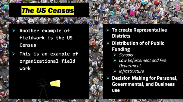
- Field Work data collection (and the U.S. Census)
- Geospatial Technologies
- Geographic Information Systems (GIS)
- Satellite Navigation Systems (GPS)
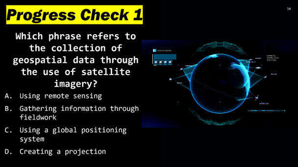
- Remote Sensing
- Online Mapping & Visualization
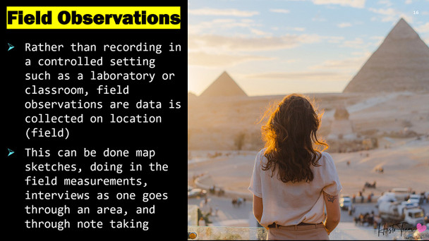
- Field Observations
- Landscape Analysis
- Photographic Interpretations
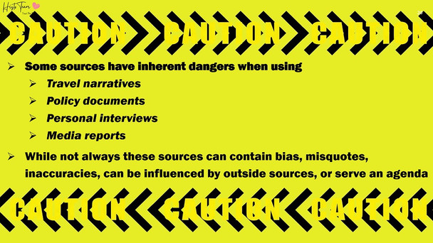
- Looking for bias
- Quantitative Data vs. Qualitative Data
Learning Objectives:
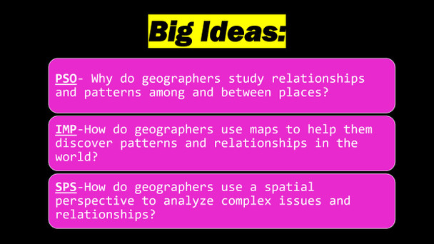
- IMP-1.B Identify different methods of geographic data collection
- IMP-1.C Explain the geographical effects of decisions made using geographical information
Essential Knowledge
- IMP-1.B.1 Data may be gathered in the field by organizations or by individuals
- IMP-1.B.2 Geospatial technologies include geographic information systems (GIS), satellite navigation systems, remote sensing, and visualization
- IMP-1.B.3 Spatial information can come from written accounts in the form of field observations, media reports, travel narratives, *policy documents, personal interviews, landscape analysis, and photographic interpretation
- IMP-1.C.1 Geospatial and geographical data, including census data and satellite imagery, are used at all scales for personal, business, and organizational and governmental decision-making purposes


