Description
This resource is a Google form and doc linked to an interactive image on the Hoover Dam.
In the early 20th century, the U.S. Bureau of Reclamation devised plans for a massive dam on the Arizona-Nevada border to tame the Colorado River and provide water and hydroelectric power for the developing Southwest. Construction within the strict time frame proved an immense challenge, as the crew bored into carbon monoxide-choked tunnels and dangled from heights of 800 feet to clear canyon walls. The largest dam in the world at the time of its completion in 1935, this National Historic Landmark stores enough water in Lake Mead to irrigate 2 million acres and serves as a popular tourist destination.
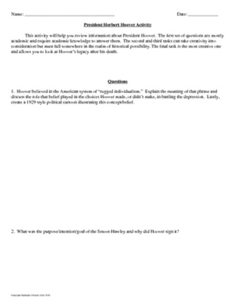
Students can use the Google Earth links to explore the Hoover Dam and Lake Mead. Next, students can answer the 14 reading comprehension questions on the form. Finally, students will answer the 4 short answer questions on the doc. This activity has worked very well in pairs using two devices. This product is an excellent enrichment activity.
Students will learn about:
- Workers
- Boulder City
- Diversion Tunnels
- High Scalers
- Concrete
- Lake Mead
- Hoover Dam Dedication
- Purpose of the Hoover Dam
- The Hoover Dam today
- Diagram of Hoover Dam
This resource is editable to suit your needs. Questions and option orders are shuffled.
Thank you for looking!


